Understand the need
We start by listening to the scope and expectations.
ABOUT US
Starting in the field, we handle each technical process clearly and carefully.
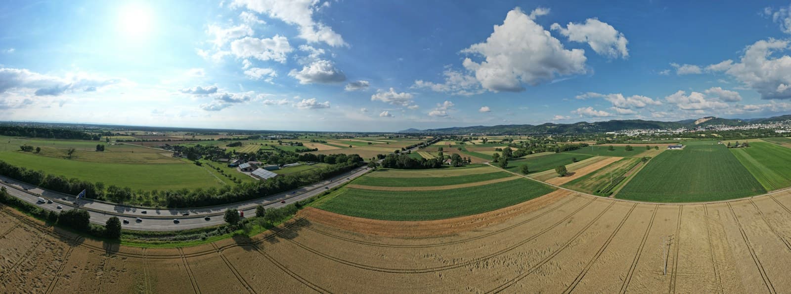
Ayar Proje Harita Mühendislik is based in İzmir and provides surveying engineering, geomatics and real estate consultancy services.
Its work includes land measurement, setting out, parcel subdivision and consolidation, elevation plans, existing condition maps and zoning applications.
WHAT GUIDES US
We start by listening to the scope and expectations.
We carry out measurement and data collection thoughtfully.
We explain technical steps in plain language.
CONTACT AND FIELDS OF WORK
Your direct contact for questions and project enquiries.
+90 542 218 28 36Land measurement, setting out, elevation plans and existing condition maps.
Services related to subdivision, consolidation and zoning applications.
A NEW PROJECT STARTS HERE
Get in touch about surveying, parcel procedures or real estate advice.
Call for Information